Activity Feed › Forums › Sign Making Discussions › Off Topic Chat › google earth
-
google earth
Posted by Nicola McIntosh on July 16, 2005 at 9:22 pmdont know if this has been posted before… 😛
but have you downloaded the above? brilliant… 😀
http://earth.google.com/ 😀nik
Phill Fenton replied 18 years, 11 months ago 11 Members · 20 Replies -
20 Replies
-

my brother has it. amazing isnt it? its still in beta version yet but good, it will be great once its perfected. scary stuff actually 😮
-

i wondered why i could not get the uk very close in 😮 but really amazing 😀
nik
-
i really must spell check more often, read that back and i had wrote double dutch 😳
i found uk less impressive as the likes of new york etc. zoom places like gorund zero. amazing stuff 😮
by the way. only said that coz i dont know many streets in newyork, before anyone slants me for being morbid 😉
-

Our local radio station picked up on this the other day. Everyone is talking about it over here.
Have not had time to have a good look yet
Cheers
-

I got it 🙂
and i can see my house, garden and drive etc. it is a realy cool program.
but just think of what the military can see if all we see is a blured version for privacy sake.
-

this lot were first on the scene.
-
-

My brother in law showed me it.
Amazing but scary, this is only what they let us see. I know DEFRA use it to check up on the fields that are set aside, farmer near us was fined for cutting his grass a few days early.Steve
-

get mapping were not the first, the US military were, get mapping did it with a plane, the US did it with satelites, in fact the Americans have a picture of the get mapping plane taking photos!
Peter -

Rome is particularly good on Google Earth. It must have been a sunny day when they did that one. I believe they are updating with higher res pictures all the time, but they seem to be a bit behind – the old Wembley Stadium is still on there!
-

Brilliant, they even have my old house in South Africa.
If you look carefully enough zoom in on Cape Town and you can see Rodney Gold waving from his workshop! :lol1: :lol1: :lol1:
-
 quote Peter Normington:get mapping were not the first, the US military were, get mapping did it with a plane, the US did it with satelites, in fact the Americans have a picture of the get mapping plane taking photos!
PeterAnd the Chinese have a picture of the American satelite taking a picture of the get mapping plane 😕
-
quote rightsigns:quote Peter Normington:get mapping were not the first, the US military were, get mapping did it with a plane, the US did it with satelites, in fact the Americans have a picture of the get mapping plane taking photos!
PeterAnd the Chinese have a picture of the American satelite taking a picture of the get mapping plane 😕
And the Koreans have a picture of the Chinese taking a picture of the Americans taking a picture of the get mapping plane 😕 😕
-
 quote rightsigns:quote rightsigns:quote Peter Normington:get mapping were not the first, the US military were, get mapping did it with a plane, the US did it with satelites, in fact the Americans have a picture of the get mapping plane taking photos!
PeterAnd the Chinese have a picture of the American satelite taking a picture of the get mapping plane 😕
And the Koreans have a picture of the Chinese taking a picture of the Americans taking a picture of the get mapping plane 😕 😕
And the Soviets have no recolection of any such happenings.
-
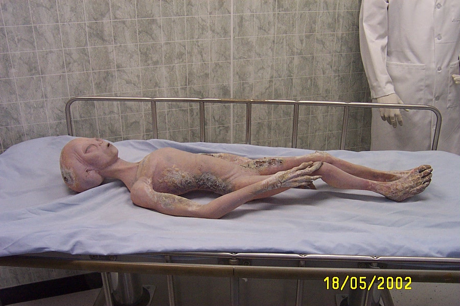
we seem to be forgetting the rosewell aliens? 😮
these poor buggars, died after clipping the antenna of the koreans satalite taking pictures of chinese taking pictures of the americans satalite taking pictures of the mapping plane. only to plummet to earth and start “The Roswell Incident” so at least we now know it was all our own stupidity these aleins fell to earth. 👿 how silly are we?
Attachments:
-
:police: No, I’m sorry Rob – you’ve just taken that too far 😮
(And why is bugger not picked up by the censor) :lol1:
-
Isn’t it? Great….bugger bugger bugger sod arse shit
Just testing.
-
Andy ya bugger! You’ve just buggered up Robs anti swearing policy to keep the boards non abusive. Ya bugger ye 😳
Log in to reply.
